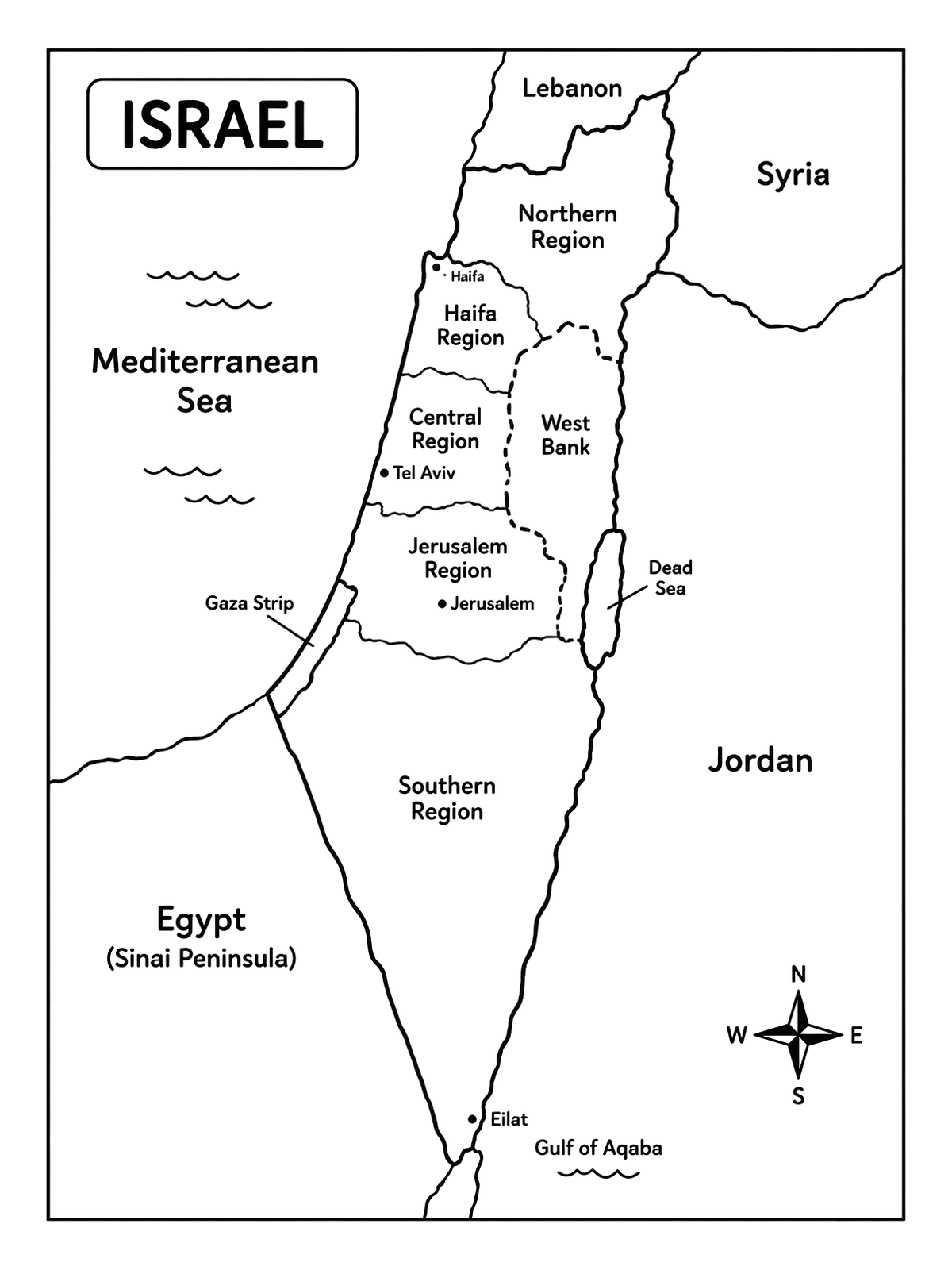
Detailed Regional Map Of Israel
This clean line art map features Israel's regions, major cities, and bordering bodies of water. It offers clear sections that make geographic learning and coloring straightforward.
PDF paper size:
 Color idea · print the blank page
Free to use and share with credit (license: CC BY 4.0) ·
Using this page in your nonprofit, library, hospital or at an event? We'd love to hear from you.
For websites (HTML)
“Detailed Regional Map Of Israel” coloring page by <a href="https://colorconfetti.com/culture-history-environment/israel/detailed-regional-map-of-israel/">Color Confetti</a>, licensed under <a href="https://creativecommons.org/licenses/by/4.0/">CC BY 4.0</a>
For print, slides, newsletters (text)
Coloring page by colorconfetti.com (CC BY 4.0)
PDF paper size:
✨ Enjoy Colorconfetti without ads
- No banners, videos or pop-up ads
- Calmer, faster pages for you and your kids
- Keeps our coloring pages free for everyone