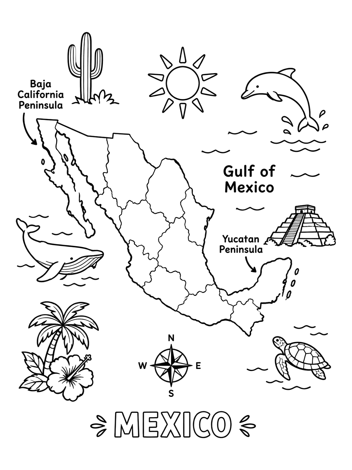
Illustrated Map Of Mexico With Regional Icons
This fun map of Mexico features regional highlights including the Baja California and Yucatan peninsulas alongside marine animals and cultural landmarks. Clear outlines make it enjoyable to color and learn about Mexican geography.
PDF paper size:
Free for home and classroom use. Want to use this page in your nonprofit, library, hospital or at an event? Contact us.
PDF paper size:
✨ Enjoy Colorconfetti without ads
- No banners, videos or pop-up ads
- Calmer, faster pages for you and your kids
- Keeps our coloring pages free for everyone