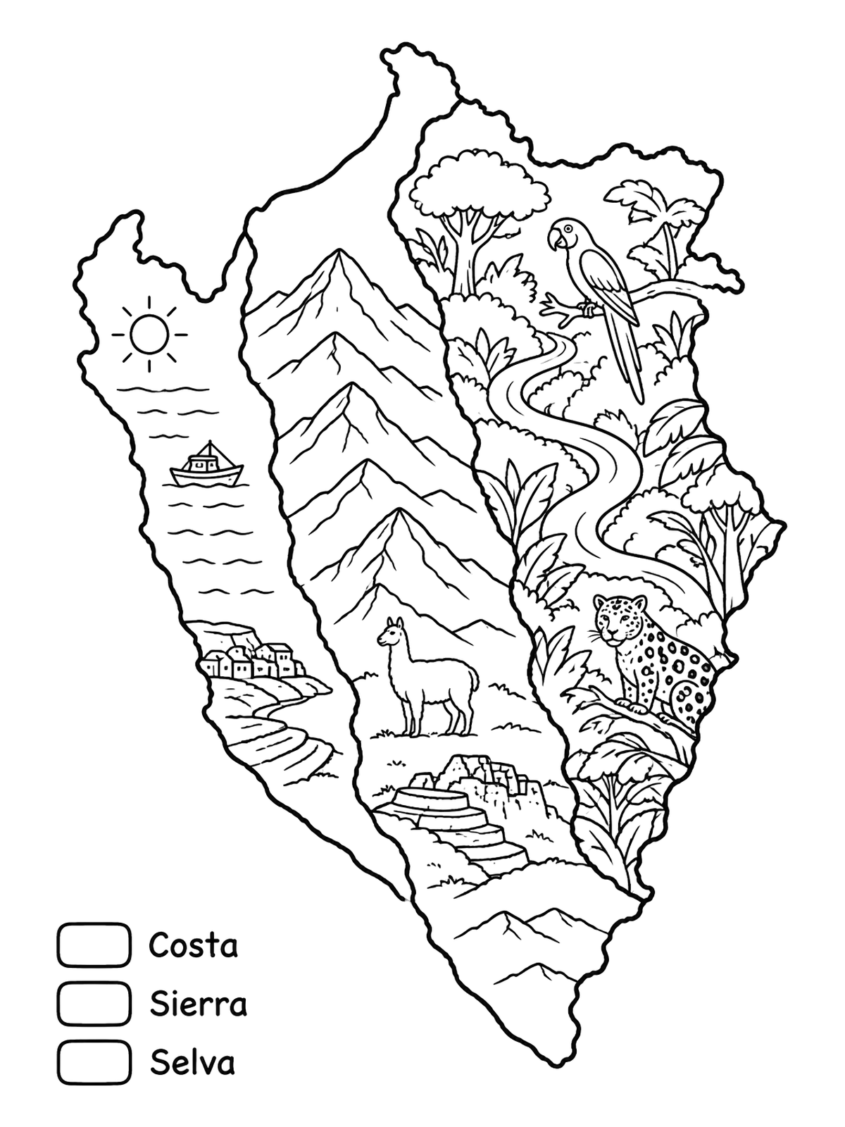
Map Of Natural Regions Of Peru
This educational illustration shows Peru divided into coast, highlands, and rainforest zones alongside native wildlife. It offers a fun geography activity with distinct landscape panels.
PDF paper size:
Free for home and classroom use. Want to use this page in your nonprofit, library, hospital or at an event? Contact us.
PDF paper size:
✨ Enjoy Colorconfetti without ads
- No banners, videos or pop-up ads
- Calmer, faster pages for you and your kids
- Keeps our coloring pages free for everyone