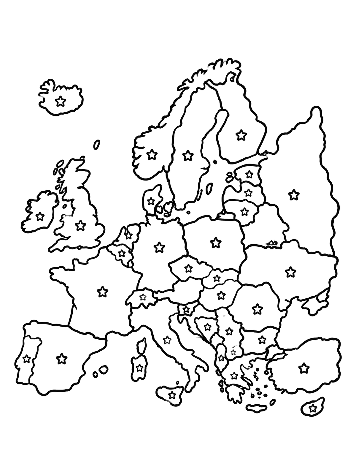
Map Of Europe With Stars
This simple political map outlines European countries with stars marking key capital cities. Clear bold borders make it fun and educational for young geographers to color.
PDF paper size:
 Color idea · print the blank page
Free for home and classroom use. Want to use this page in your nonprofit, library, hospital or at an event? Contact us.
PDF paper size:
✨ Enjoy Colorconfetti without ads
- No banners, videos or pop-up ads
- Calmer, faster pages for you and your kids
- Keeps our coloring pages free for everyone