Map Of Europe With Country Capitals
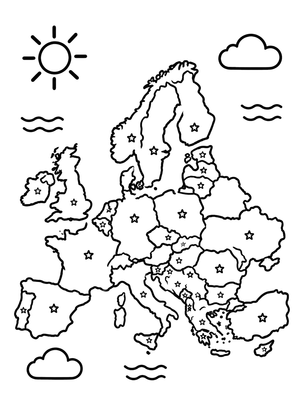
This simplified map of Europe features clear country borders marked with stars for capital cities. Surrounded by clouds, waves, and a smiling sun, it offers an engaging geography coloring activity for young learners.
PDF paper size:
 Color idea · print the blank page
Free to use and share with credit (license: CC BY 4.0). Using this page in your nonprofit, library, hospital or at an event? We'd love to hear from you.
PDF paper size:
✨ Enjoy Colorconfetti without ads
- No banners, videos or pop-up ads
- Calmer, faster pages for you and your kids
- Keeps our coloring pages free for everyone