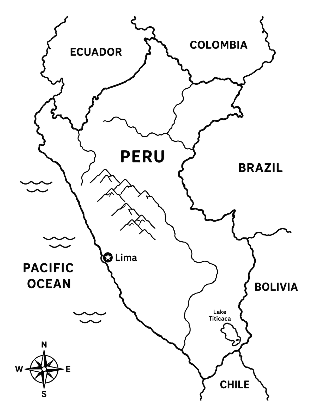
Map Of Peru With Neighboring Countries
This educational outline map shows Peru along with its capital, mountain ranges, and bordering nations. Clear boundaries and geographic labels make it easy and informative to color.
PDF paper size:
 Color idea · print the blank page
Free for home and classroom use. Want to use this page in your nonprofit, library, hospital or at an event? Contact us.
PDF paper size:
✨ Enjoy Colorconfetti without ads
- No banners, videos or pop-up ads
- Calmer, faster pages for you and your kids
- Keeps our coloring pages free for everyone