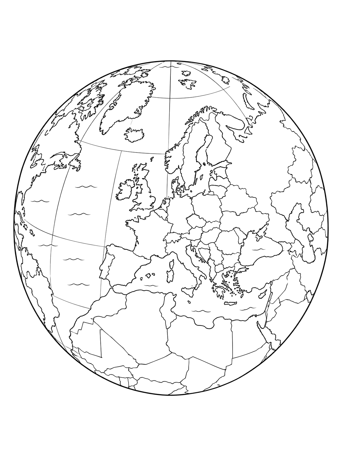
Globe Centered On European Map
This globe illustration highlights the European continent alongside North Africa and the Atlantic Ocean. Its defined country borders provide a great geography-themed activity to color.
PDF paper size:
Free to use and share with credit (license: CC BY 4.0) ·
Using this page in your nonprofit, library, hospital or at an event? We'd love to hear from you.
For websites (HTML)
“Globe Centered On European Map” coloring page by <a href="https://colorconfetti.com/culture-history-environment/europe/globe-centered-on-europe-map/">Color Confetti</a>, licensed under <a href="https://creativecommons.org/licenses/by/4.0/">CC BY 4.0</a>
For print, slides, newsletters (text)
Coloring page by colorconfetti.com (CC BY 4.0)
PDF paper size:
✨ Enjoy Colorconfetti without ads
- No banners, videos or pop-up ads
- Calmer, faster pages for you and your kids
- Keeps our coloring pages free for everyone