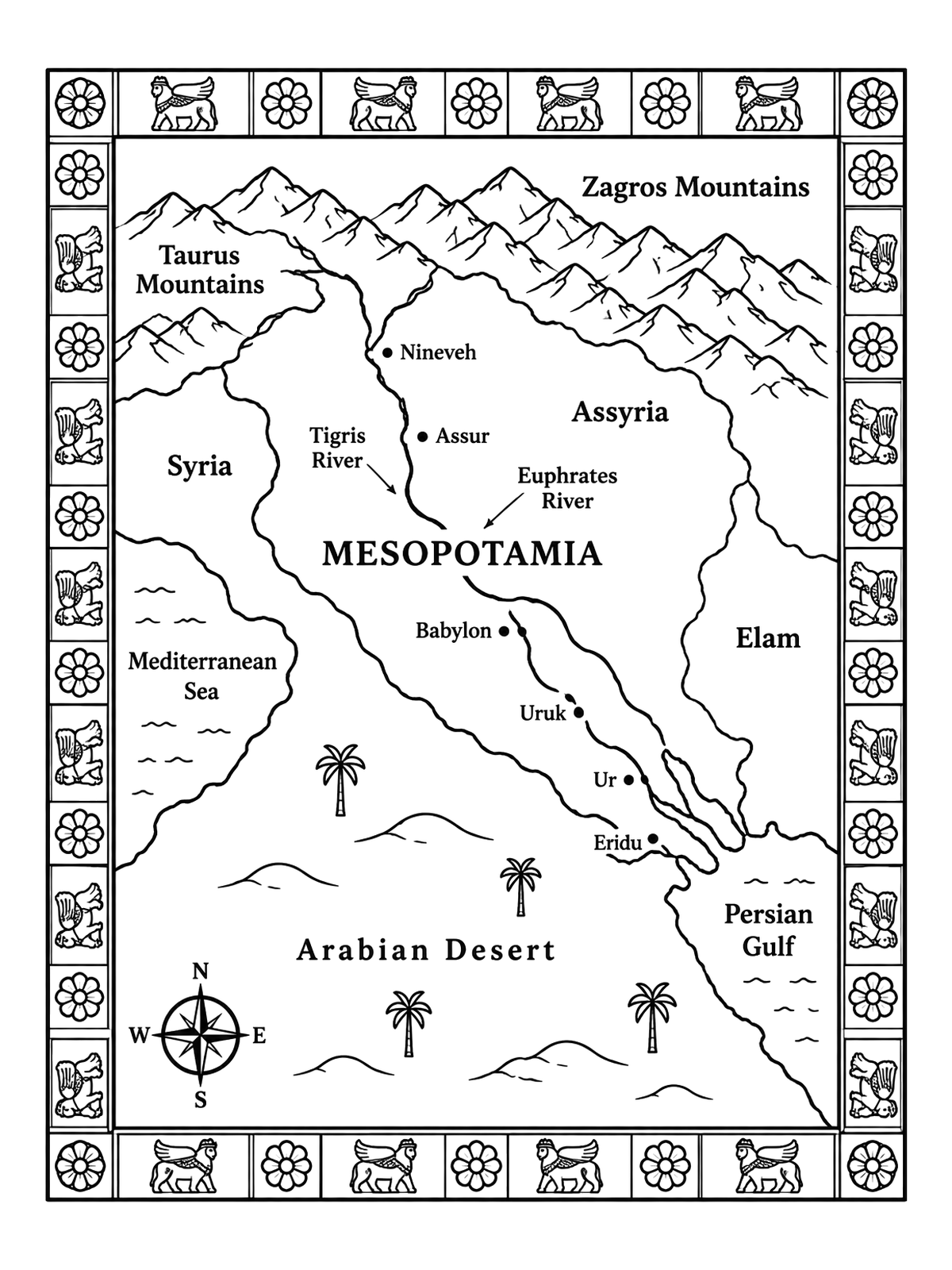
Ancient Mesopotamia Map With Decorative Border
Explore the cradle of civilization with this historical map showing the Tigris and Euphrates rivers alongside famous ancient cities. A decorative border adorned with rosettes and winged bulls makes this map especially engaging to color.
PDF paper size:
 Color idea · print the blank page
Free for home and classroom use. Want to use this page in your nonprofit, library, hospital or at an event? Contact us.
PDF paper size:
✨ Enjoy Colorconfetti without ads
- No banners, videos or pop-up ads
- Calmer, faster pages for you and your kids
- Keeps our coloring pages free for everyone